

Nytt hos oss
How to Create a 3D Bathymetry Seabed Model from QGIS
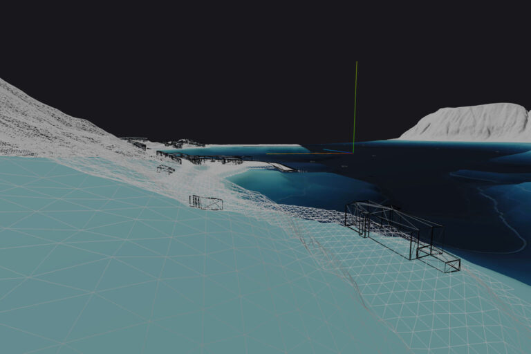
This guide explains how bathymetry contour data from Kartverket can be converted into a continuous 3D seabed model using QGIS.…
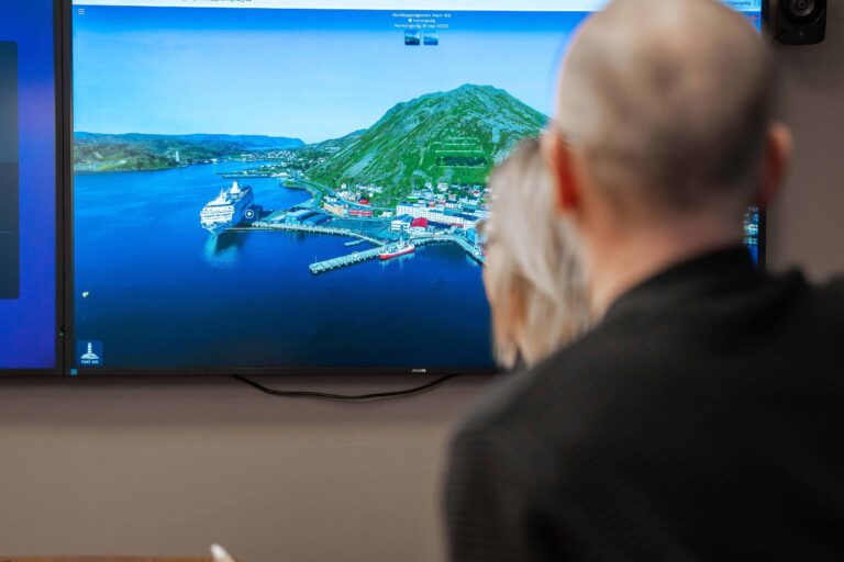
Nordkappregionen Havn IKS – Customer Case
Nordkappregionen Havn (Ports of North Cape) is an active user of Port360 and uses the solution daily in their operations.…
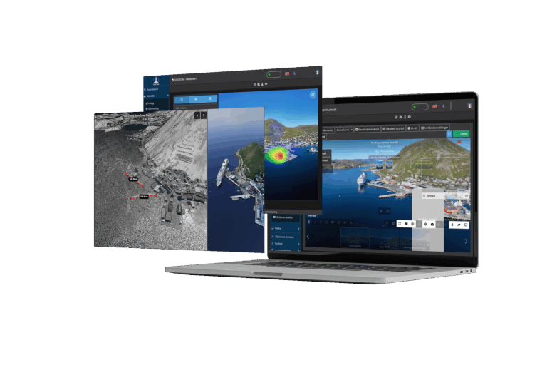
The launch of Port360 🎉
As we now enter a new year, it is especially nice to be able to share some big news. We…