
Digital oversikt for havner
It’s easier to show than to describe
From areas to visual data
We transform physical port areas into structured digital datasets.
360 and map
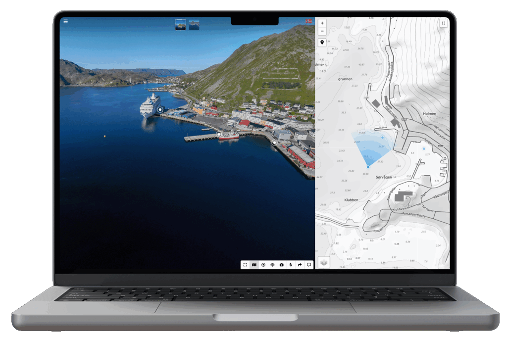
We document areas with 360° imagery and connect them to map-based navigation for a clear and easy overview.
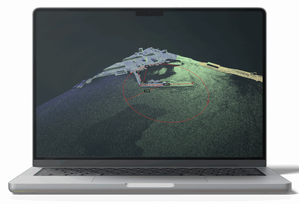
3D
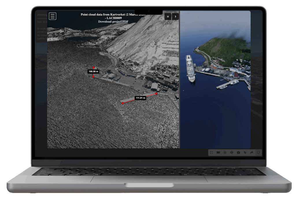
Using photogrammetry and public datasets, we deliver 3D models and point clouds for measurement, analysis, and visualization.
Visualization
The results are brought together in a shared platform where you can easily visualize facilities or areas in an efficient and scalable way.
It’s easier to show than to describe
Book a demoIt’s easier when everyone sees the same thing
A shared visual starting point for meetings, planning, and dialogue.
What if questions could be answered with a visual?
Clearer clarifications, both internally and externally. See how it could work in your day-to-day operations.
Some things are easier to show than to describe
Have a coffee with us, and let’s look together at how we can help you.
Customers and partners
“We are very satisfied with our collaboration with Port360.
Their solution, Port360, has become an important tool for us at the port.
It provides valuable internal insight and has also been well received by captains,
who greatly appreciate the opportunity to familiarize themselves with the port before arrival.”
Leif Gustav Prytz Olsen
Harbor Master – Nordkappregionen Havn IKS