Skip to main content
Skip to footer
Docs
Map
Email
EN
NB
Overview
Solution
About solution
News
Contact
Demo
Login
E-post eller brukernavn
Passord
Login
Category:
Development
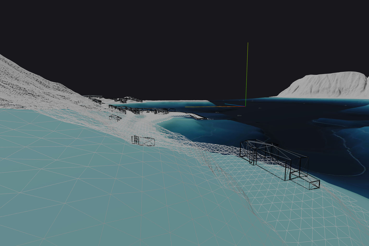
How to Create a 3D Bathymetry Seabed Model from QGIS
26. February 2026
This guide explains how bathymetry contour data from Kartverket can be converted into a continuous 3D seabed model using QGIS.…


 26. February 2026This guide explains how bathymetry contour data from Kartverket can be converted into a continuous 3D seabed model using QGIS.…